
Stay up to date with the latest developments
Leave your email address and receive the latest developments in software, AI and Mendix.
Leave your email address and receive the latest developments in software, AI and Mendix.
This is how geo makes applications more powerful. There is more you can do with geo in applications than you probably think.
Organisations are digitalising their processes en masse, but one thing is often still missing: geo. That is a shame, because geo plays a big part in many processes. Think of a resident who wants to report a nuisance at a specific location, a transport company that wants to know the most cost-efficient route, or an emergency service that wants to reach the exact site of an accident as quickly as possible. Are you digitalising a process like that? Then it is very useful if the person using the application can interact with a location visually.
There is more you can do with geo in applications than you probably think. These examples show you the power of geo:
Is there an incident somewhere? Then emergency workers or the agencies involved obviously want to pinpoint the exact location quickly. That is why we developed 3D maps for one of our clients, aimed specifically at safety measures. They put locations on screen in a completely new way.
When a report comes in, the emergency worker or other party involved zooms in on the area and sees the building in question light up. This improves response times and contributes to a safer environment for everyone.
Curious about this case? You can read the whole story about our collaboration with the Multi Intelligence Centre (MIC) and the Beslishulp app via this link.
Let's Goal is a real-time app in which football fans can see on a map who is out on the football pitches nearby. They can also use the app to organise and join matches. That encourages people to play football together.

Gemeente Rotterdam uses apps with geo functionality to improve all sorts of processes:
Residents report nuisance easily on a map
In the Meldr app, residents can report a nuisance using a map. Enforcement officers can then find the location quickly and solve the problem. Residents can also see the status of reports on the map. Take a look for yourself.
The council manages monuments far more efficiently
Rotterdam has a fair number of monuments that need to be managed. Among other things, the council marks the monuments on a map. That used to happen in an app that stood apart from the other processes around monument management. As a result, maps regularly had to be exported, sent and loaded back in. We helped Gemeente Rotterdam bring all those processes together in a single application. That saves a lot of time and hassle.
Applying for permits is much faster
Before work can be carried out in public spaces, the council first has to apply for permits. Together with the council we developed an app in which the user marks on a map what the work will affect. That is then converted automatically into a report used for the permit application.
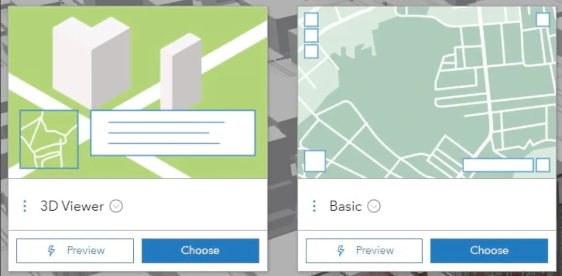
Integrating geo into apps is often assumed to be complex. As far as we are concerned, that is unnecessary. There is an enormous amount you can do with geo these days, and it is easier than you think. There are all kinds of map providers that take the complex work off your hands:
Leaflet is an open source JavaScript library for mobile friendly, interactive maps. A perfectly good option for simple geo applications.
We ourselves often use Arcgis. This web-based mapping software offers not only interactive maps, but also adds smart analysis tools. That lets you work out, for example, which hospital is quickest to reach from a given location, or which route is the most cost-efficient. Their widgets also make it easy to add complex map layers, search and drawing options and other functionality to your map quickly.
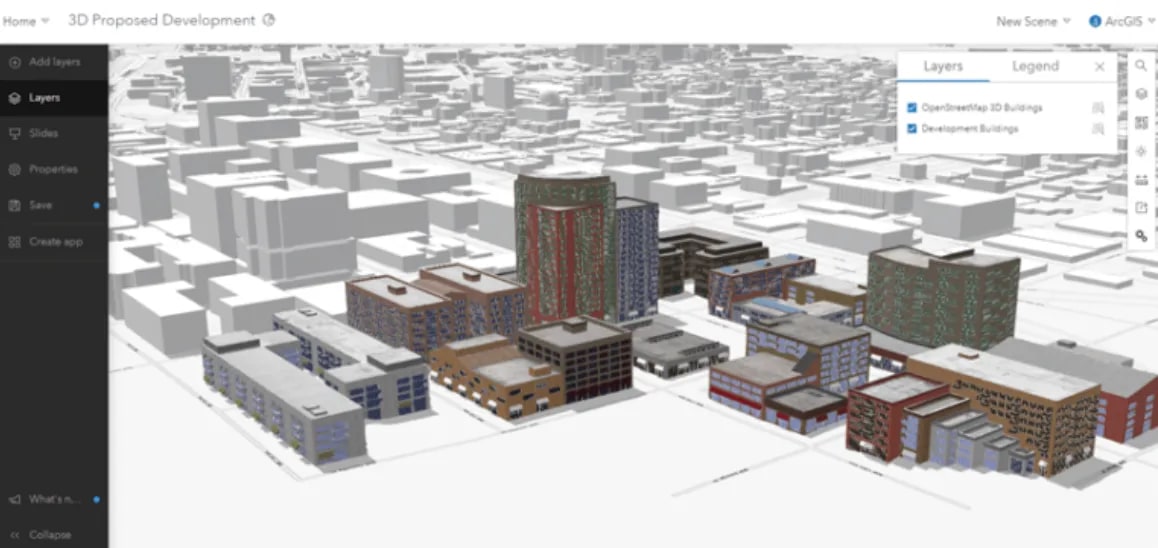
PDOK is a useful resource too. This publicly accessible government database holds a great deal of up-to-date geo information about the Netherlands. And it is free to use.
At JAM-IT we mainly build Mendix applications, and geo is relatively easy to integrate into them. In Arcgis we create an interactive map, which is converted into JavaScript. We then process that in a Mendix widget (we wrote this blog about Mendix widgets earlier). The best part is that the interactive map can also exchange data with the rest of the application. That gives it a real place in the whole process.
https://www.youtube.com/watch?v=RJ0DS90aGQM
In the video above we explain the basic principles of geofencing, a crucial concept in the world of IT and application development.
 Want to know more?Ask Armando
AI-assisted development speeds up traditional application development, but the bigger shift is the room it creates to te...

It started as a way to view a database in 3D. It now has a name, JAM-City, and we can walk through it with colleagues, d...

What will users expect from software in the future? Discover what makes an application future-proof and which choices ma...